Mt Tyndall: The Devious Mountain
10 August 2014
This summer I have developed a fever. The mountain fever, got it real bad. And the only cure is a lot of miles at high elevation in the finest mountain range of them all, the Great Sierra Nevada. I can’t seem to get enough of the Sierra Nevada this summer. It seems the physical effort I spend on the trails returns as undefineable mental rejuvenation. The solution to all of modern society’s existential dilemmas. Well if you will excuse this second false start of a trip report, the following is the account of how I applied lessons learned from mountains past toward a successful ascent of Mt Tyndall.
I had been reading about the arduous trail up Shepherd Pass for some time now, and decided I was ready for the challenge. I made plans to rampage up the trail and summit Mt Tyndall on Saturday afternoon, camp above the pass, reach down and slog up Mt Williamson on Sunday morning, and finally hike all the way back out and get to work bright and early Monday morning. I drove up to Lone Pine on Friday night and stayed in the men’s dorm at the Whitney Portal Hostel. I have to say this was a good find. It only costs $25, and you get to sleep in a bed and shower in the morning. Of course one of the guys was snoring all night; as I lay awake, I tried to reassure myself I had made a good choice of accommodations, since the alternative was sleeping in my bivy sack by the side of the road.
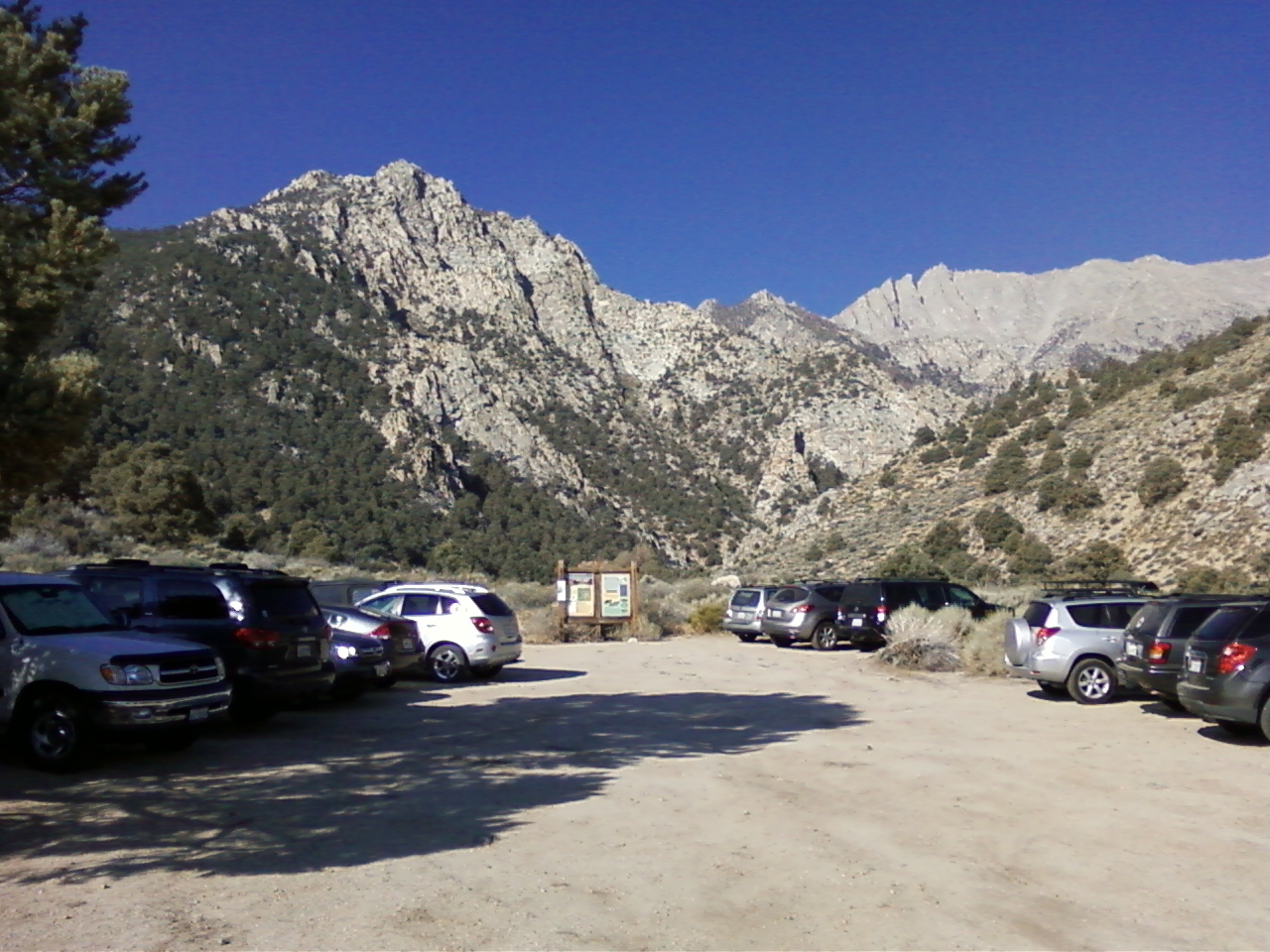
I was up early and went to Jenny’s Café in Independence to find a hearty breakfast. This worked out great as I arrived in town at 7 am just as the place opened. I enjoyed some eggs, hashbrowns, toast, and a very large glass of orange juice, and then I hit the road. My Honda Civic performed admirably in reaching the trailhead. I was able to negotiate a few sketchy sections with minimal scraping against the undercarriage of my vehicle. Just had to take it real slow. After packing up a variety of warm clothes and rain gear, I was on my way. For all the conversational pleasures of hiking with a group, I find that I enjoy hiking alone tremendously. You can let your mind wander and listen to the rustling of the pines in the wind or whistle back at the birds calling in the early morning without everyone in your group thinking you’re crazy.
The trail started out in the shade along Symmes Creek. It is your task to escape this drainage via a saddle that stands some 2,500 ft above the trailhead, which gets you going at only 6,300 ft. And escape this drainage is exactly what I found myself desperately trying to do. I missed the part where the trail leaves the creek and begins switchbacking up to the saddle. I simply traveled about a half mile too far up the creek. The worst part, I thought at the time, was that, ‘I know I have heard this trail described as idiot-simple to follow.’ Cursing my lesser than idiocy level of intellect, I found myself army crawling up endless heaps of sliding fine gravel, mixed with scrapy dead branches, and loose, Siren-like rock outcrops just begging to be grabbed onto for support, only to give way. I wasted all kinds of energy going up this opposite face of the tributary to the Symmes. To top it off, I had my heavy pack on and the sun was beating down mercilessly just as the cover of shade broke. I ironically spotted the trail all the way across the tributary and began traversing over, slowly but surely, trying to lose as little of my hard won elevation gain as possible. It was a glorious moment when I simply realized the trail was within striking distance. After gaining the trail I accosted the first hikers I saw for further advice on the terrain ahead and the best way to negotiate Shepherd Pass. They were very helpful and did a wonderful job of holding back their laughter at my no doubt unsightly appearance, dirt and twigs plastered onto my heaving, sweating body.
After the debacle before the saddle, the rest of the hike up to the pass was fine. I felt brutally awoken by my misfortune, and made a tremendous pace up the trail. I thought about how it would be easier to follow these trails with fancy GPS waypoints, but I much prefer my old-fashioned compass and topo method. Although I get lost, I always know where I am and where I need to go, in a general sort of way. I came to appreciate and understand why the trail loses 500 ft of elevation beyond the saddle. The trail negotiates steep, solid rock walls cut by tributaries of Shepherd Creek, which itself has cut a spectacular, classic V-shape canyon. The terrain was very pretty, albeit exposed to the sun. After the loss in elevation, the trail is graded evenly up long switchbacks all the way to Anvil Camp. The section that was washed out last year just below the camp was quite manageable. A route of least resistance down into the washout and back up onto the trail has even been established and marked with cairns. Simply ascend a short distance above the trail, cross the washout, and then walk back down on the other side and rejoin the trail.
I was feeling surprisingly good at Anvil Camp. I drank a ton of water and ate some food in the shade at this most welcome respite from the hot August sun. I dropped my ice axe and crampons here. I hadn’t confirmed whether or not I would really need them to go up Williamson’s west face; I was simply tired of carrying the damn things. I had heard rumor there was some snow left on the mountain, but I figured it couldn’t be much, especially after what I have been told was another dry winter in the Sierra Nevada. After leaving camp, one encounters a maze of moraines above treeline. The gain is quite subtle here, but nonetheless collects its toll. There is an unmaintained use trail to gain Shepherd Pass, but because my legs were so worn out from the saddle debacle, I went into four-wheel drive straight up to the pass. It was a little loose, but not bad. It felt great to use my arms, and soon I gained the pass.
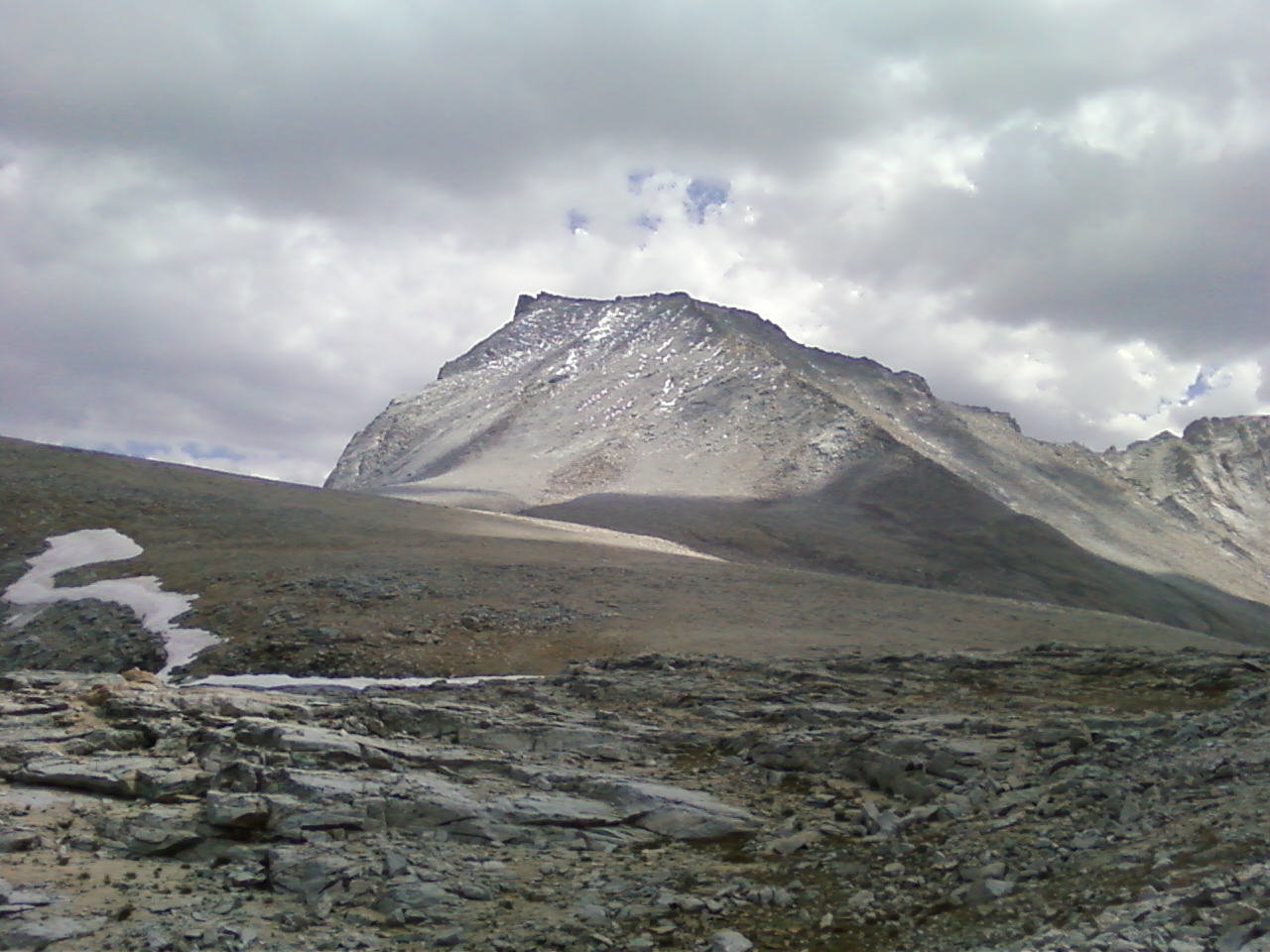
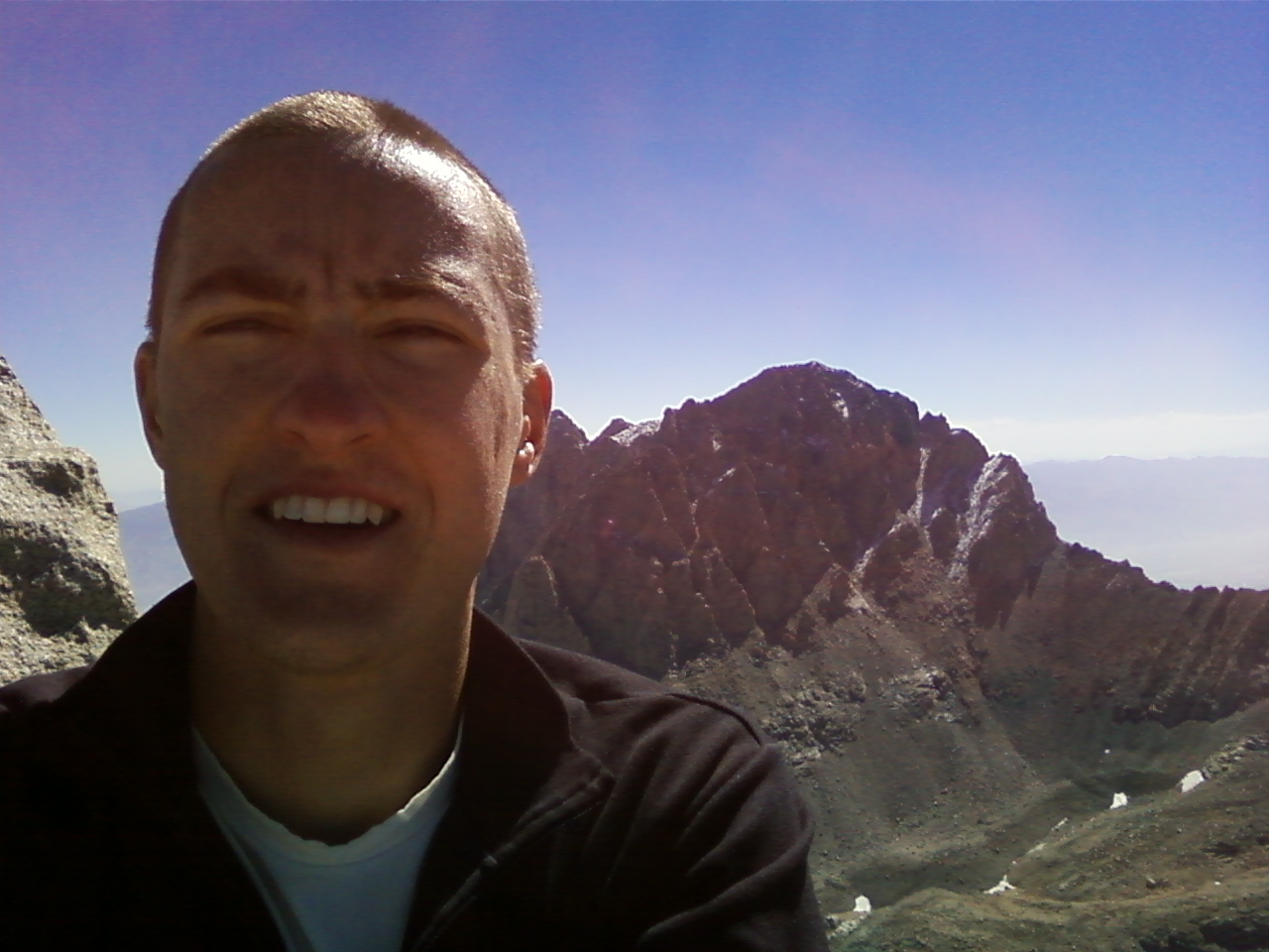
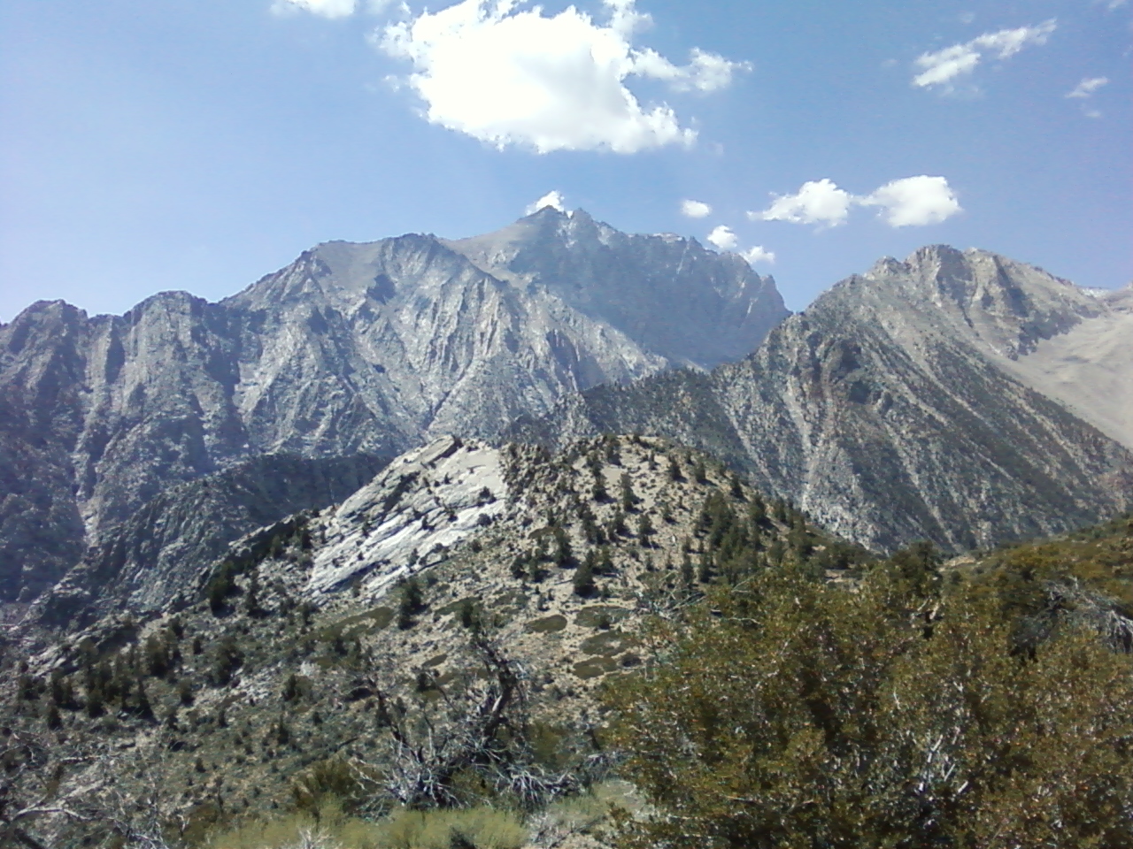
I was taken aback and let out an audible gasp as Mt Tyndall came into view. The north rib beckoned me onward even as a few puffy white clouds rolled up above the mountain. I thought, ‘What do you have waiting for me, Mt Tyndall? What tricks are you hiding among your prominent faces and flanks?’ I ascended the deceptively long moraine guarding the north rib and began this classic route. RJ Secor has said of the north rib: ‘This is a good climb.’ Either that is a deliberate rhetorical understatement highlighting the pleasure derived from this climb, or the worst route description I have ever read. It was a delight sneaking and slithering up and around the rib on solid granite slabs. The slabs have just the right distribution of holds and cracks and overhangs to grab onto for support. The route is particularly satisfying in that one can choose the route they please. I found myself pushed off route far to the right of the rib, as I avoided some small snow drifts lingering on the north face. Tricky Tyndall had got me. I made something like a class three or four move to gain the crest over here and found it to be a knife-edge! ‘Ah, there’s the talus heaps leading to the summit, back to the left by the rib!’
I went back down and began traversing over when it began to hail. And then the sky opened up like the crack of doom. You see Mt Tyndall had blinded me to the growing storm with her tempting flanks, and now I was high on the mountain in a storm, and late in the day at that. But I was no stranger to Sierra summer storms, and I had a warm fleece jacket, winter hat and gloves, and rain coat in my summit bag. I put all this gear on, curled up into a ball on a ledge below the crest, and waited. I waited for an hour and a half for the storm to pass, to no avail. The large hail pellets had piled up everywhere to form large drifts. I managed to laugh at my misfortune as the drift above me had taken the exact shape of my body! At this time, as the storm abated, I poked my head above the crest and felt that same crushing blow I felt on the summit of Split Mountain not three weeks earlier. My hair went on end and I felt a crackling go through my body. Nope nope nope! Not this time, there was no way I was going to run that last hundred feet to the summit, risking life and limb to nature’s ultimate punisher, the lightning strike. In the heat of the moment, I felt dejected. Only time would grant me the awareness that it was the right decision to go down.
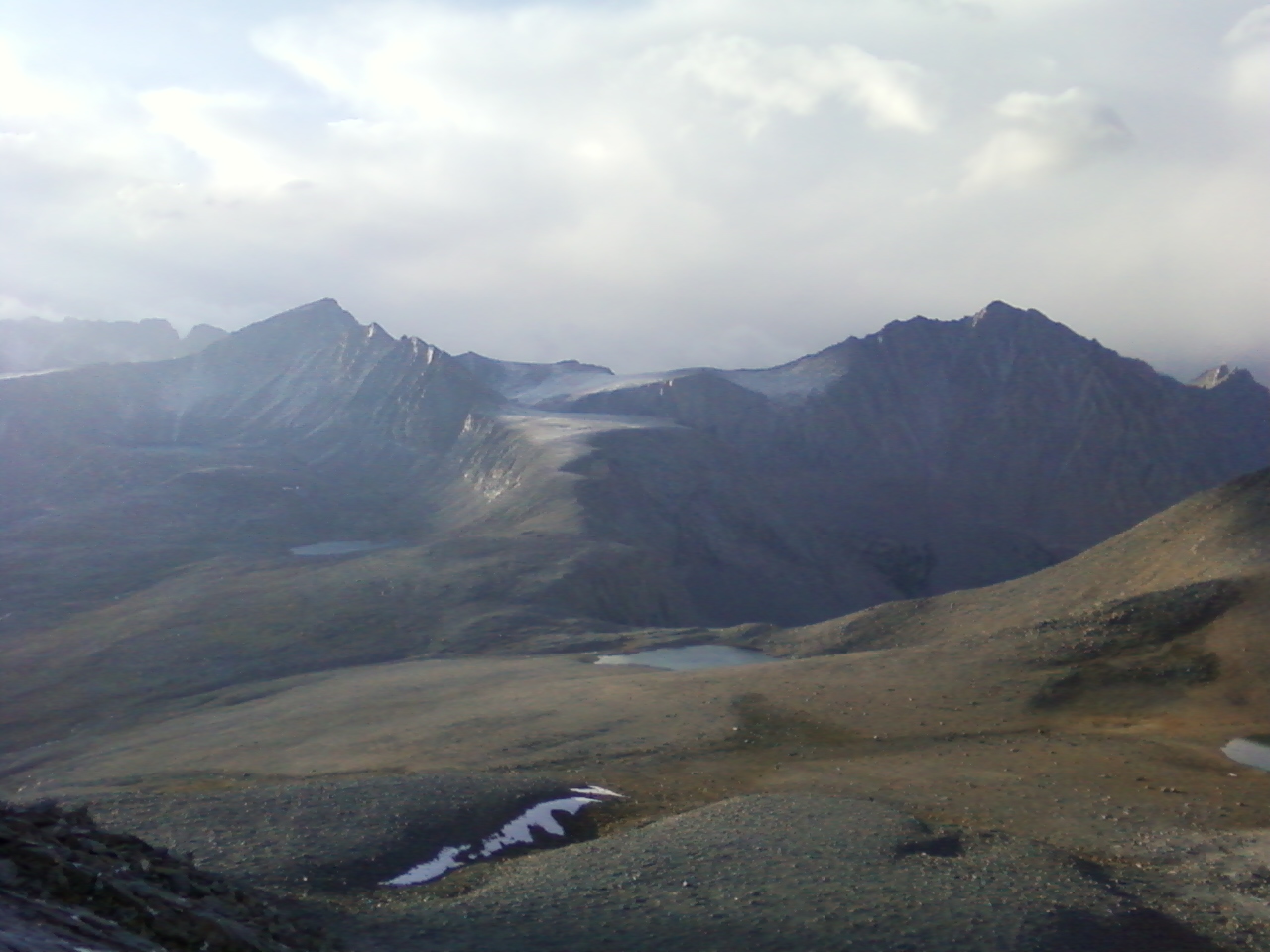
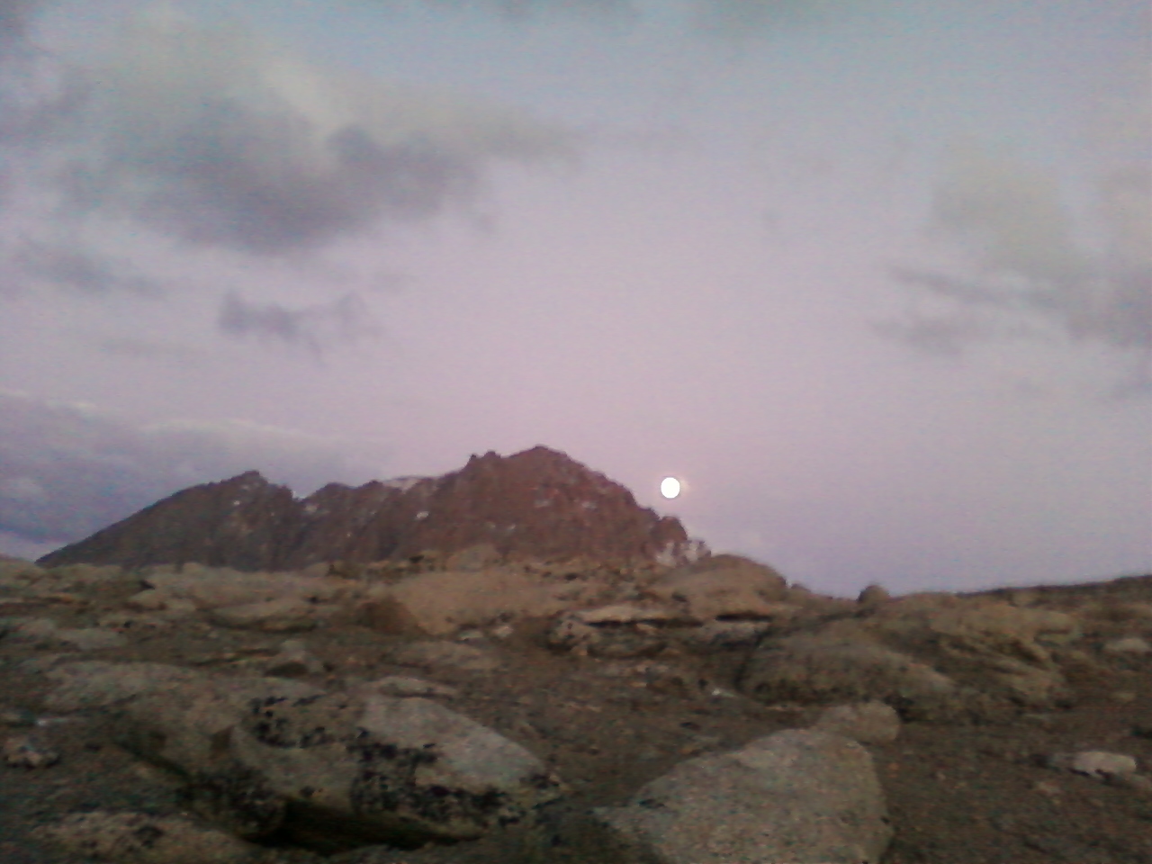
I made it back to one of the lakes above the pass with just enough daylight to set up my camp, which consisted of a sleeping pad in a sleeping bag in a bivy sack. After going from the trailhead to 14,000 ft in eight hours, I experienced something resembling altitude sickness for the first time. I was unable to eat anything solid, and woke up in the middle of the night to spit up some Gatorade. I felt some consolation as I saw a full moon rising above Mt Williamson after this episode of digestive failure. What an odd thing to puke your guts out and look up to such beauty.
Sunday morning brought blue skies all round. I could just sense I had a great weather window to bag a summit. However, I did not feel I had the strength to go get Williamson. Besides, things had gotten personal with Mt Tyndall. So I went up the north rib again (the route so nice I did it twice) and this time made it all the way to the top. It was so rewarding to make the summit after yesterday’s travails. I looked longingly at the seemingly impenetrable west face of Williamson. I vowed to return soon to tackle this mighty mountain, one that is certainly deserving of another journey up the pass. I took great care in descending the north rib as I was now more fatigued than ever before. Anvil Camp once again proved to be a welcome oasis, and regaining my strength, I daydreamed my way down the long, long miles all the way back to the trailhead. Here was a long and winding road, full of highs and lows, where challenges were met, and obstacles were overcome. Here was a road that at its end lain Mt Tyndall, The Devious Mountain.